
News

URGENT PUSH TO STOP HB 4153A, THE STORES ON FARMLAND BILL
HB 4153A would require counties to permit retail stores, delis, pubs, restaurants, commercial kitchens, and event venues of any kind on Exclusive Farm Use zoned land. It would prevent counties…

Amazon SITE PLAN APPROVED
Amazon SITE PLAN APPROVED The County has approved the site plan for an Amazon warehouse and distribution center off of Highway 35 in Odell. Planning staff did not analyze Thrive’s…

Please ask legislators to stop HB 4153
Please ask legislators to stop HB 4153. This bill would require counties to permit a host of commercial uses on Exclusive Farm Use land, destroying what makes Oregon Oregon. Let’s…

MARRIOTT HOTEL COMPLEX UPDATE
The December 1st public hearing on the proposed Marriott hotel complex was well attended, with numerous community members speaking in opposition to the proposal. The Planning Commission will deliberate, then…

Christmas Tree Farm
Thank you all for joining us for our recent Christmas Tree Farm Visit! We hope you had a wonderful time. Stay tuned for exciting events next year!
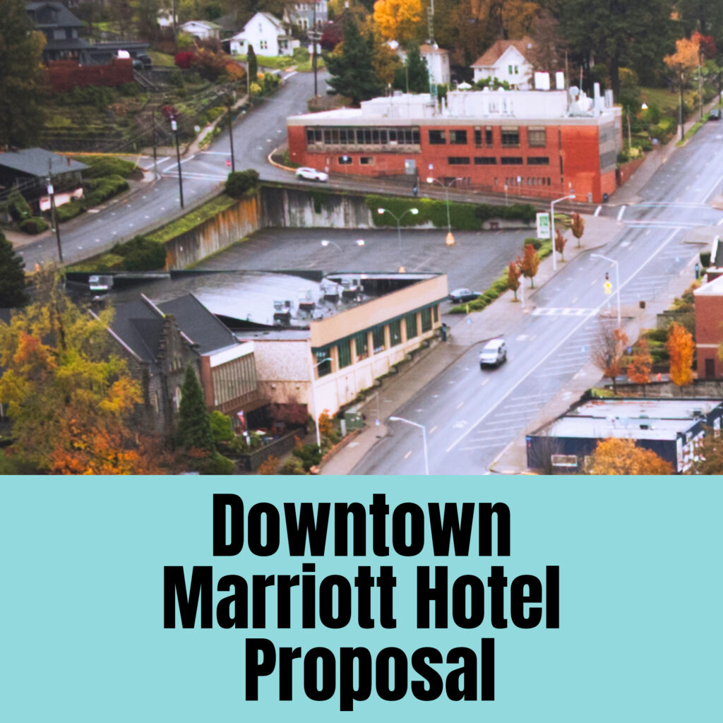
SUBMIT COMMENTS OR TESTIFY AT THE PUBLIC HEARING
The City Planning Commission public hearing on the proposed Marriott Hotel complex at 419 State Street, the site of the Hood River News building, will be Monday, December 1 at 5:30. Written…

Port to sell Odell industrial land for Amazon’s last-mile delivery station
To create rural industrial sites in Hood River, the Port of Hood River fully redeveloped the Lower Hanel Mill land, a Brownfield site, into a 12-acre industrial park with four…

Packer Orchards Hearing
The hearing on Packer Orchard’s appeal of the County’s decision on events, sales and structures at the Thomsen Road farm stand has been rescheduled to December 10, 2025. Link with…

Christmas Tree Farm Visit. Register here. Date: Saturday, November 22 Location: Hood River Valley (The address will be provided upon registration) Time: 10 AM – 11 AM Host: Carrie Thomas.…


Single ticket for Silcox Hut
Single ticket for Silcox Hut $25.00 Midweek Silcox Hut Overnight Package RAFFLE CLOSED This package includes: – Lodging for up to 24 people for 1 midweek night at Historic Silcox…

Bike ride among the orchards
Thank you for joining our bike ride among the orchards, the place we all cherish. Even though everyone thought it was going to rain, the weather transformed into a bright,…